The strategic location of the three villages has shaped the history of the area for thousands of years.
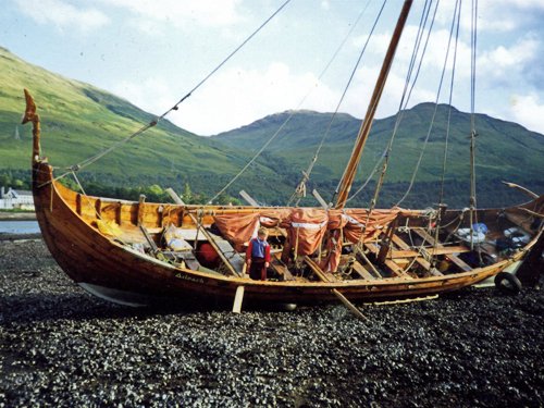
Loch Long penetrates deep into the mountains, providing easy access from the sea for people wishing to settle or trade, as well as for those with less peaceful intentions. In 1263, followers of the Norwegian King Haco pulled their boats out at Arrochar and across the isthmus to Loch Lomond, from where they sailed south to plunder the settlements around Loch Lomond. The name Tarbet is derived from the gaelic, An Tairbeart, meaning an isthmus.
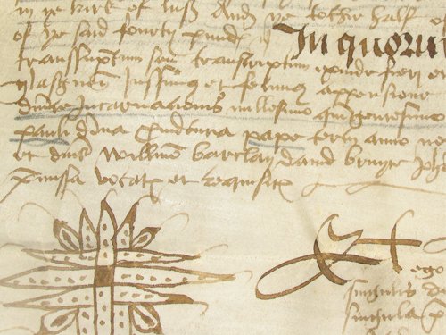
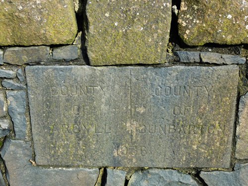
The lands around Arrochar traditionally belonged to the MacFarlane clan from 1225, when the then Earl of Lennox granted them to his son, Gilchrist. The area near Ballyhennan Church in Tarbet is believed to have been the site of a ‘confrontation’ between the MacFarlanes and Haco’s Vikings, though the exact site has not yet been identified. In 1785, the MacFarlanes were forced to sell their lands to help pay their debts, and today, most of the land around the three villages is owned by Sir Malcolm Colquhoun of Luss and managed by Luss Estates.
The MacFarlanes had a reputation – rightly or wrongly – as enthusiastic cattle rustlers, who would hide their booty in the mountains near Loch Sloy in the dead of night, hence the clan's battle cry of 'Loch Sloy!' and the local name for the moon of 'MacFarlane's lantern'.However, the villages also saw signs of more peaceful cattle trading, with busy droving routes passing through Arrochar, Tarbet and Succoth from the west and around the head of Loch Long, aiming for the cattle fairs, or 'trysts', at Falkirk and Dumbarton. These traditional routes were later exploited by General Wade and his colleagues who were charged with building a road system throughout the Highlands to allow the easy movement of English troops, following the defeat of Bonnie Prince Charlie and his Jacobite army at Culloden in 1745.
Access to the area in the Victorian era became easier with the building of the West Highland Railway line in the 1890s, though this ‘progress’ came at a price: a total of 37 navvies died near Arrochar, Tarbet or Ardlui during the construction of the railway, and are now commemorated by a memorial in Ballyhennan graveyard.
The Victorian era also saw a steady stream of paddle steamers bringing visitors up Loch Long from Glasgow to Arrochar, from where they could visit the local hotels, or travel across to Tarbet to catch another steamer to explore the scenery of the world famous Loch Lomond. Loch Long has influenced local fortunes further, once part of a thriving herring-fishing industry, and more recently, as the site of a torpedo-testing range, closed in 1986.
The spectacular mountain scenery that today attracts visitors from far and wide also has more practical applications. The UK’s largest conventional hydroelectric power station was built at Sloy, near Ardlui, and opened in 1950. The building of a dam to create the power station’s reservoir resulted in the deserted settlement at Loch Sloy disappearing underwater forever. The same mountains that provided the water to fuel the Sloy power station also provided an ideal site for the Forestry Commission to use for its plantations, while their proximity to Glasgow meant that the 'Arrochar Alps' played a key role in the development of the Scottish Mountaineering Club.
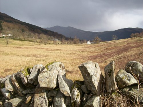
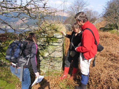
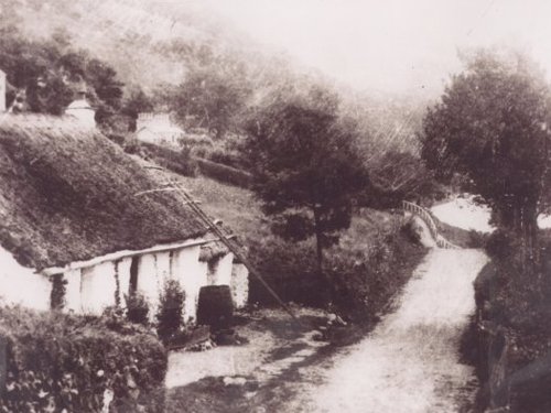
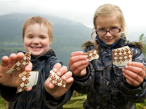
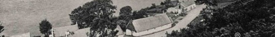
The hillsides around Loch Long and Loch Lomond bear testament to the many, small communities that used to live here. A few tumbled walls are now all that remain of settlements such as High Morlaggan, Stuc na Cloich, and Tyvechtican, whose inhabitants abandoned their cottages and self-sufficient lifestyles in favour of towns and cities, or to travel to America or Australia. The descendants of many of these still live in the villages, and play an active role in uncovering the facts about their ancestors' way of life.
The villages of Arrochar, Tarbet, Succoth and nearby Ardlui have a thriving and active heritage community. For lots more information about the local heritage, visit arrocharheritage.com, highmorlaggan.co.uk, or hiddenheritage.org.uk.
Explore the area's fascinating heritage and spectacular scenery by following the Hidden Heritage Trail - download a map here.
Why not make it even more exciting by following the clues in the Hidden Heritage Global Treasure App, downloadable for FREE from your app store. When you've completed the trail, take your phone with it's reward symbol to the Three Villages Cafe to collect your free souvenir token, and why not stay to enjoy some well-earned refreshment?
You can also follow the informative Arrochar Mobile app downloadable from these links for Android or IOS devices.